Map of Ancient Egypt
A map of Ancient Egypt is more than just a representation of rivers and ruins; it reveals the essence of a civilization that thrived for over three thousand years. Tracing its lines allows us to follow the paths of pharaohs and craftsmen who left their mark on stone and sand. Each curve of the Nile and every temple illustrates a story of survival and belief.
Geography played a crucial role in shaping Egyptian life. The Nile’s fertile banks created a vital stretch of life in the desert, determining where communities thrived and cities rose. For modern travelers, a map serves as a practical guide, explaining why the pyramids stand on the Giza Plateau and Luxor is dubbed the “world’s greatest open-air museum.”

Ancient Egypt at a Glance
Ancient Egypt was located in the northeastern corner of Africa and had natural barriers that shaped its history. The Mediterranean Sea to the north allowed for trade and cultural exchange. The Red Sea to the east linked it to Arabia. The Libyan Desert to the west protected it from invasions. To the south, Nubia provided gold, soldiers, and cultural influences.
If you look at a map of Ancient Egypt, you will see that civilization depended on the Nile River. This narrow strip of fertile land, surrounded by desert, shows why Egypt developed around the river. The map also reveals the division into nomes, which were administrative regions. This division relates to modern areas like Cairo, Luxor, and Aswan.
Luxor Tours & Activities
Looking to save some costs on your travel? Why not join a shared group tour to explore Luxor, Egypt? Here are some activities you might be interested in:
The Nile River: Lifeline of a Civilization
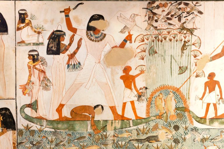
The Nile was more than just a river; it served as Egypt’s calendar, road, and food source. Each year, its floods brought rich black soil, creating fertile land called Kemet (“the Black Land”). This flooding cycle allowed Egyptians to grow crops like wheat, barley, and papyrus, supporting their people and their empire.
The river split Egypt into two areas:
– Upper Egypt (the southern part, near Nubia)
– Lower Egypt (the northern delta, spreading into the Mediterranean)
This division can confuse new visitors, but it’s straightforward when you remember that the Nile flows from south to north.
Major Cities and Capitals of Ancient Egypt
Egypt’s capitals changed over time, leaving behind impressive sites for visitors today:
– Memphis: This was the capital during the Old Kingdom, located near modern Cairo. You can visit the open-air museum at Mit Rahina to see large statues of Ramses II.
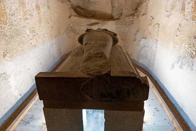
– Thebes (Luxor): As the capital in the New Kingdom, Luxor is home to Karnak, Luxor Temple, and the Valley of the Kings. It is often called “the world’s greatest open-air museum.”
– Alexandria: Founded by Alexander the Great in 331 BCE, this city became a center for learning. Although the ancient Library is gone, the modern Bibliotheca Alexandrina honors its memory.
The Nomes of Ancient Egypt
To govern their vast territory efficiently, the ancient Egyptians divided the land into 42 nomes—20 in Lower Egypt and 22 in Upper Egypt. Each nome had its capital, ruler (nomarch), temple, and local deity. These nomes were not just administrative units; they were deeply tied to Egyptian mythology and identity.
Nomes of Lower Egypt (The Nile Delta Region)
The Delta was Egypt’s economic hub, home to major cities, trade ports, and temples. Some of the most important nomes in Lower Egypt included:
Memphis (Ineb-hedj – “White Walls”): The capital of early dynastic Egypt, Memphis was a powerful political center and home to the great temple of Ptah.
Heliopolis (Iunu): One of the most important religious centers, dedicated to the sun god Ra.
Bubastis (Per-Bastet): The city of Bastet, the feline goddess, is known for its grand temple and annual festivals.
Tanis (Djanet): A later capital of Egypt, full of royal tombs and treasures.
These nomes controlled the gateway to the Mediterranean, making Lower Egypt a key player in trade and diplomacy.
Nomes of Upper Egypt (The Valley of Kings and Temples)
Upper Egypt was the land of pharaohs, temples, and tombs, stretching from Memphis down to Nubia. Some key nomes included:
Thebes (Waset): Known as the City of Amun, Thebes was the religious heart of Egypt and home to Karnak and Luxor Temples.
Abydos (Abdju): One of the most sacred sites, where the god Osiris was believed to be buried.
Edfu (Behdet): Home to the magnificent Temple of Horus, one of the best-preserved temples in Egypt.
Elephantine (Abu): An important trading center near modern-day Aswan, controlling the gateway to Nubia.
These nomes formed the backbone of Egyptian civilization, where great pyramids were built, gods were worshipped, and pharaohs ruled with divine authority.
Borders, Trade Routes, and Expansion
Egypt’s maps also reveal its role as a crossroads of civilizations. Trade routes stretched far beyond its borders:
- To Nubia, for gold, ivory, and exotic goods.
- Across the Sinai, linking Egypt to Asia.
- Through Mediterranean ports, connecting with Greece and Phoenicia.
Historical Maps Through the Ages
Egypt’s geography stayed the same, but its borders and influence changed a lot over time:
– Old Kingdom (about 2686–2181 BCE): Focused around Memphis and the pyramids.
– Middle Kingdom (about 2055–1650 BCE): Expanded south into Nubia, with Thebes becoming more important.
– New Kingdom (about 1550–1070 BCE): Egypt’s golden age, reaching into the Levant and Sudan.
Got a Question?
F.A.Qs
Upper Egypt is the southern region, while Lower Egypt is the northern delta. The terms reflect the Nile’s flow, not compass directions.
Capitals shifted between Memphis, Thebes, and Alexandria, depending on the era.
It provided fertile farmland, transportation, and a unifying axis for the civilization.
Did you know that
By purchasing through our links, you support us at no additional cost.
Thank you for your support. ♥️